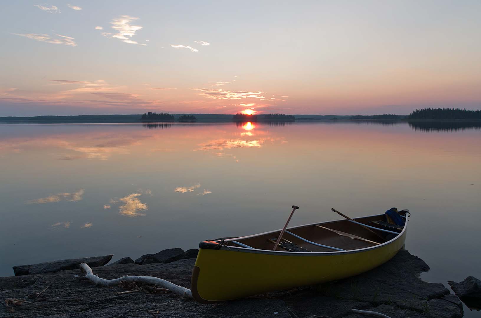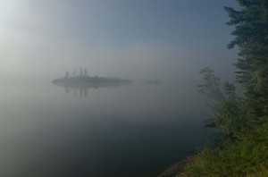
Morning fog on Uskik Lake
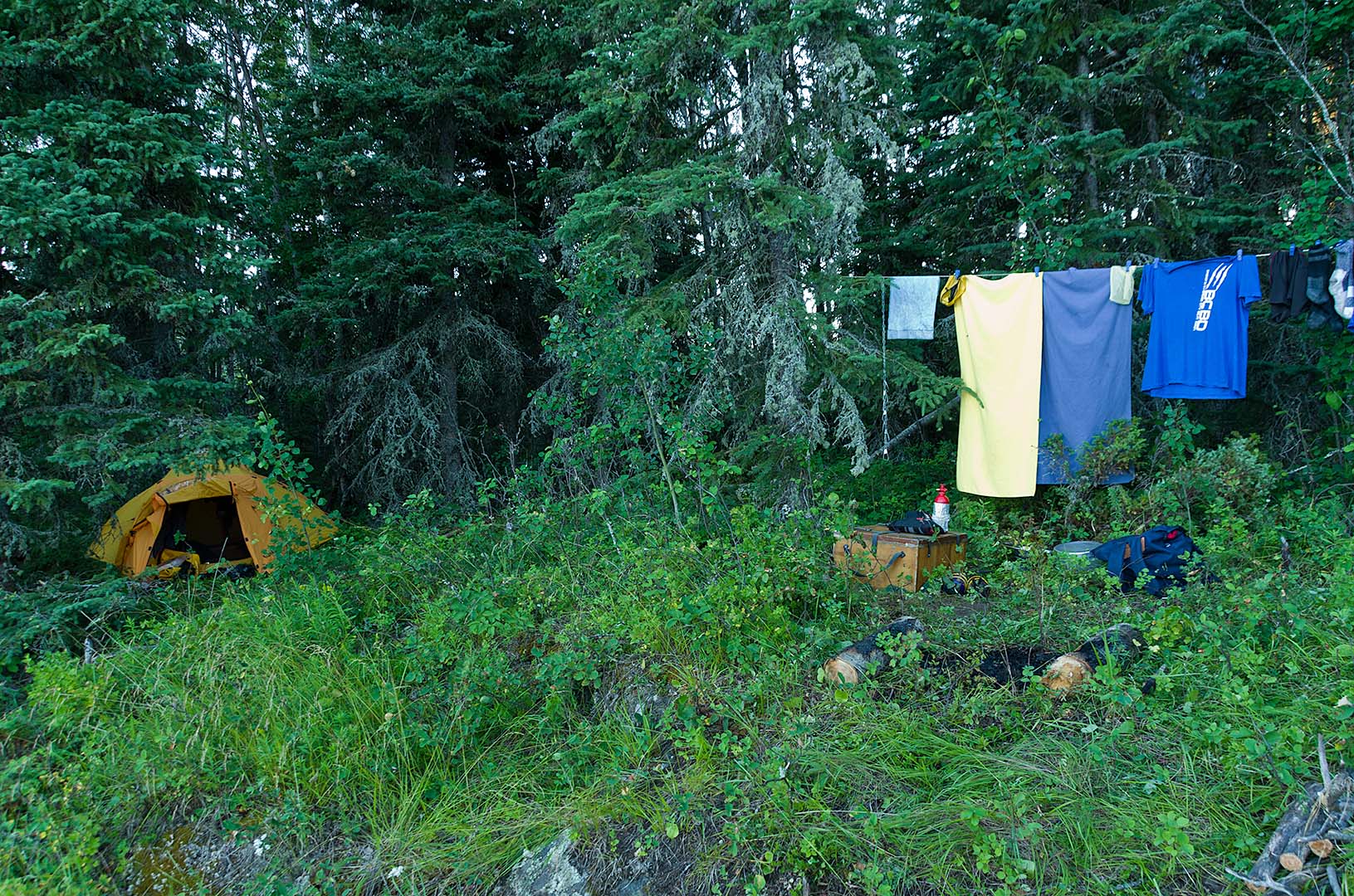
Up at 6:30, on the water by 8:25. It was very, very foggy when we awoke. You could not even see the island just a few hundred metres away. It didn’t seem terribly damp though, and the fog pretty much lifted by the time we finished breakfast. While Graeme was packing the tent three otter came and poked their heads out of the water. He thought they were beaver at first, but their characteristic snorting indicated that they were otter. I also saw a whole family of Ruffed Grouse roosting in the trees behind our tent.
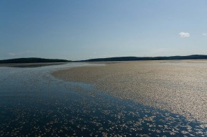
Mayfly carcasses on the water
There was absolutely no wind as we crossed over to Kettle Falls, and hardly any for the entire day. Last night millions of mayflies were flying above us as we sat on shore reading (mating, we assume, though we never really saw any succeed). In the morning their carcasses littered the water. In places it was just brown with them. There were a lot of whitefish jumping because of this.
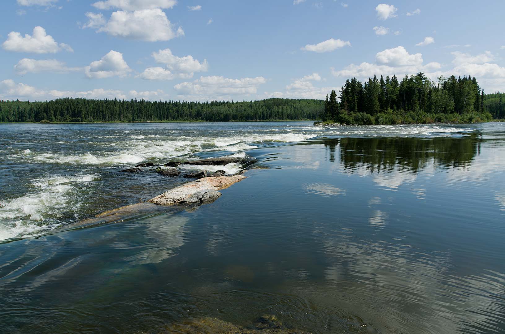
We could hear a dull roar, which sounded like a diesel generator, and though there are a few cabins on the lake, nothing that is a fishing outcamp which might have one. Eventually we decided that it must be the roar of Kettle Falls that you can hear, and with the low frequency rumble you can’t really direction locate it very well.
At Kettle Falls we first stopped at a point about 250 m above the falls. You could probably camp here but it isn’t very level. There was an old fire pit though. We walked through to see where the portage (13 U 610832 6157277) actually starts (which is at a pole skid probably about 20 m above the falls). There is a bit of current, but not dangerous if you keep close to the left hand side. You can land at a big rock and get out easily onto the skid, which we did and then skidded the canoe across. Since this is a straight pole skid without the plastic pipe that sometimes is in place, it was a bit of a heavy drag. However, it would be really hard to carry across as the skid takes up almost the entire space of the path.
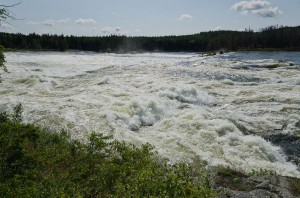
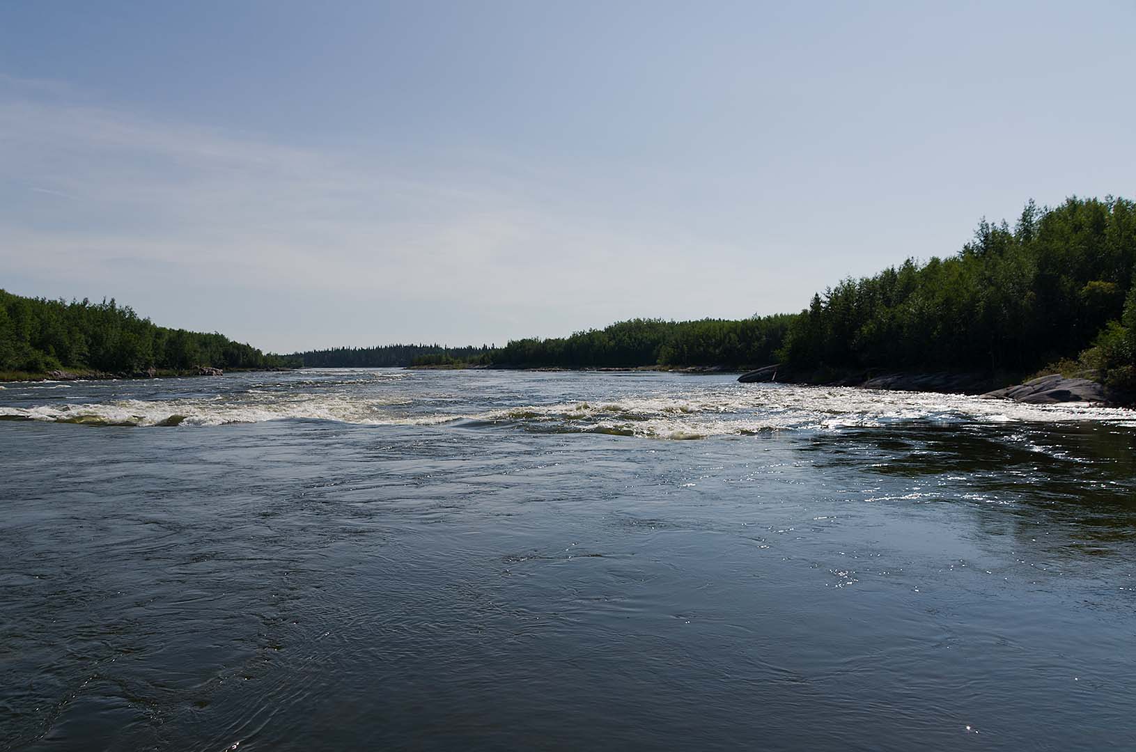
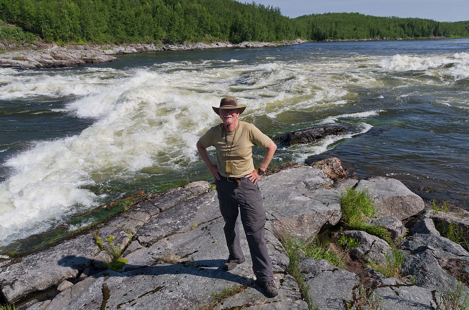
Kettle Falls
We stopped at the top both for a break and to photograph the falls. They are very impressive, with a massive hole in the middle, and an almost as big one not far from the north edge. Below the rapids is an easy put in, but then you must paddle through about 500 m of very heavy current (13 U 611013 6157374) and whirlpool boils to get to the next rapids. We stayed to the right, and actually ran into a back circulating eddy that was so fast it took our entire effort to go upstream against it.
The lower falls portage skid (13 U 611525 6157599) was completely submerged and broken. We landed on the left shore just beside the fast water and carried over about 20 m on the rocks. We left the dry bag in the canoe and lined it down the edge to save the one carry of gear.
We ate lunch on the north end of Nairn Island (13 U 614387 6158885). Much of the shore here has been burned off about a year or two ago, but the island hasn’t. It may have some places to camp (it has large sloping rock shelves) but not where we ate. Some of the other rocky points may be better, but it didn’t look all that great from where we were. Even though we were a few kilometers below Kettle Falls, we could still them quite plainly.
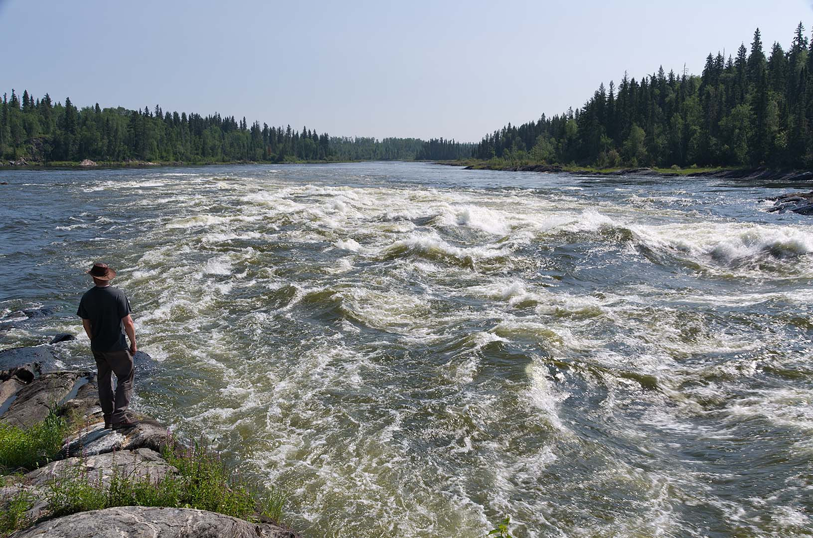
The rapids leaving Iskwatam Lake (13 U 615940 6159820) were quite easy, just class 1 water down the right side. There are a few large ledges towards the left middle (north) side, and quite strong current out into the lake with violent eddies, but it was an easy run.

Rapids of Iskwatam Lake (Rapid 1)
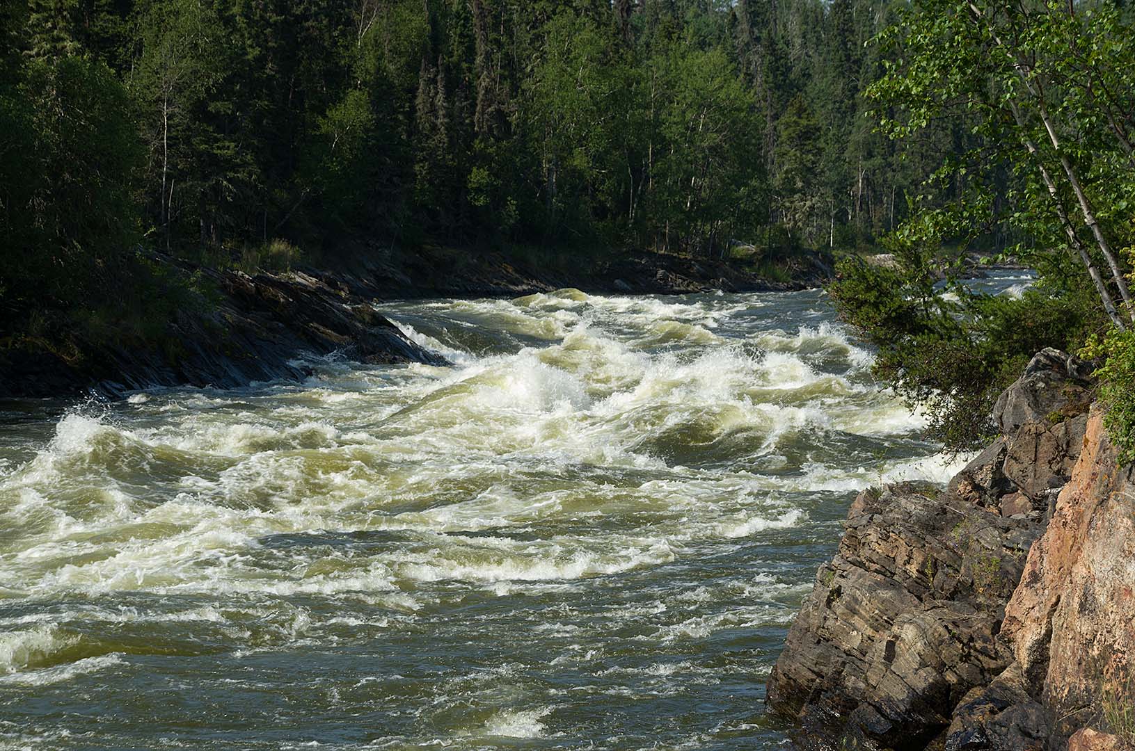
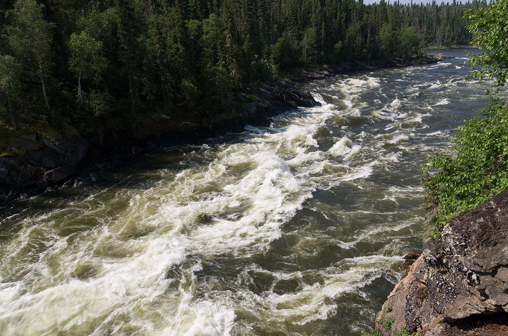
We wondered about the rapids to come as none of the guides are very clear. They mostly say “keep left or north” and carry over on the rocks. That is what we did. The first (13 U 623952 6157880) has a bad ledge, that is quite hard to see from above. You would probably make out ok, though we weren’t going to try since we are alone. We pulled in on the point where there is a rock ledge, and carried over about 30 – 40 m.
Next (13 U 624557 6158327) about 750 m away around the corner is a second ledge. This one isn’t as bad a ledge as the first, though we carried around it on the left as well.

Portaging Rapids on Iskwatam Lake (Rapid 3)
Next about 250 m farther (13 U 624571 6158571) along is the worst of the set. It has a nasty rock garden ledge that looks very rough. We carried over here on the left as well. The stones had a bit of water between them though nothing was flowing at this level, so we had to step over from large rock to large rock on occasion. After loading below the ledge it is an easy paddle over to the side of the island (river right 13 U 624627 6158634) where there is a fast chute to run.
There aren’t portage trails around any of these rapids, but they can be carried over on the shore rocks.
The fourth set of rapids was on the left side of the large island at about 13 U 624723 6158867. Here there looks like a V in the middle, but it is actually a ledge. We worked our way over more to the right to hit a better V which we navigated very well, with no splash in at all.
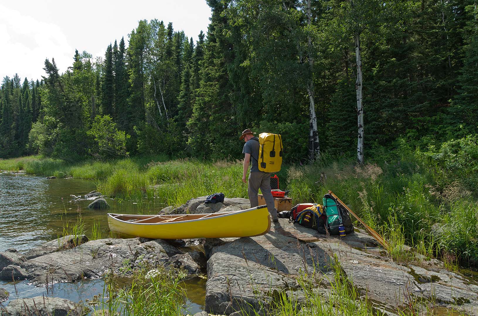
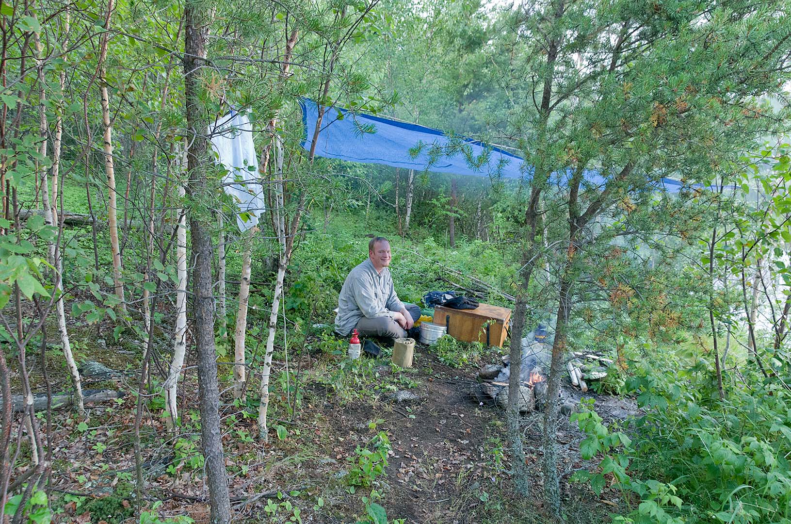
Now we started looking for a place to camp, and checked out several sites that weren’t great until we found this one. It is up high, and would be not a very nice place if it was cold and windy. However there is an old fire-pit partway down the bank, and a good spot for the tent, and nice place to sit and look out over the small rapids.
When we got here there was a huge amount of scum (pollen I think) that had collected in the small back eddy in front of the island. We went fishing and Graeme caught a good fish which we ate for supper, then caught another big fish, but when I tried to net it, I missed and we lost the fish. It would have been far too big to eat anyway.
By this time the scum seemed to have cleared, so we had a swim (it’s very slippery to get out here though, but there are a few ledges you can use). Supper was half our cabbage, mashed potatoes, and lots of fish.
After supper we rearranged our maps for the next part of the trip, and re-read the trip guides. Next we will come to Wapumon gorge, so we need to know for sure how to approach it.
It has been a very lovely and hot day. By mid-afternoon there were some cumulus clouds, but nothing that built up to storm size. It was a good thing we had sunscreen to wear, as Graeme is a bit pink on his arms even with 30 sunscreen. Now this evening the sun is just about to set, the sky is perfectly clear, and there is no wind. We can hear the ripples of the water in the small riffles just beside us in the river. There is a lot of wild mint at this campsite. Where we walk around it smells very strongly of fresh mint.
Paddled 28.11 km
Camped 13 U 0626003 6158369 (NAD83)